Warrnambool Coastcare Landcare Network volunteers plant many thousands of seedlings every year in Warrnambool and district. Some of our projects over the years include:
Up to 240 people brave the winter weather each year for our ‘Reveg the Flume’ National Tree Day event.
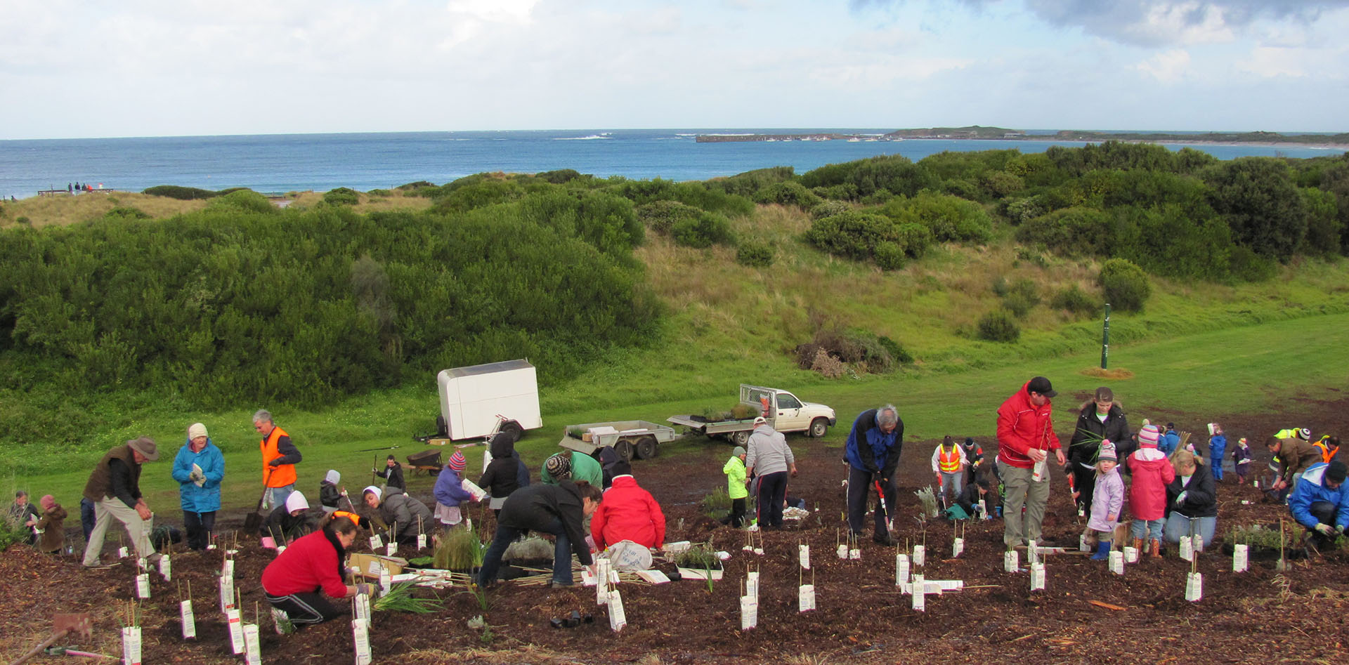
Tree plantings are also organised by some of the groups we support:
Russell’s Creek Landcare
Woodford Nature Group
Friends of Victoria Park
Warrnambool Urban Forest Group
Killarney Coastcare
Belfast Coastal Reserve Action Group
Friends of Harris on Merri
Creating a Biodiversity Corridor Linking Up the Hopkins River, Maam Wetland Reserve, Tozer Reserve and Russells Creek.
A biolink is a corridor of native trees, shrubs and smaller plants that connects up existing vegetation and creates a pathway for our native birds and animals.
With Maam Wetland Reserve at the centre, the biolink will one day connect the Hopkins River with Russells Creek. The Maam Biolink will take many years to create.

Warrnambool Coastcare Landcare Network is partnering with a number of landcare, environment, wildlife protection and other groups on the Blue Wren Biolinks project. This project will see a dramatic increase in vegetation corridors and ‘stepping stones’ throughout our urban and peri-urban areas. This will help native wildlife move through our city and district which currently is difficult for some species. The Blue Wren was chosen as the project emblem because of its beauty and its need for low-medium height dense vegetation. The Blue Wren will not fly a long way across open ground so having fairly close patches or corridors of native vegetation will definitely help this iconic native bird.
We regularly partner with Warrnambool City Council, Glenelg Hopkins Catchment Management Authority, Wannon Water and others on revegetation projects. For example, we and these organisations plus Warrnambool Community Garden, Warrnambool Secondary College and Warrnambool Racing Club have a shared vision to create a vegetation corridor connecting the Lady Bay Foreshore reserve northwards through Warrnambool to Russell’s Creek.
We have always worked beyond Warrnambool’s municipal boundaries but this was formalised when we received State Government funding to support landcare in the Moyne Shire area. Our committee and landcare facilitators are developing a landscape scale plan to support landowners in the region to plant shelter belts and biodiversity corridors that will eventually link the Otway Ranges in the east to Budj Bim / the Glenelg Ark in the west and the coast in the south to the Grampians / Gariwerd in the north. This grand vision will take decades to implement.
Subscribe to our Newsletter to find out what’s coming up!
Use our online contact form on the contact page, and we will get back to you ASAP to coordinate how you can help in a way that suits you.